3D spatial scan and classification of the scanogram (point cloud) in the national spatial coordinate system D96/TM
Construction & Civil Engineering
In this seminar paper, the acquisition of spatial data with the help of terrestrial 3D laser scanning technology is presented, as it is increasingly used in various (non-)economic areas.
At the beginning, 3D laser scanning technologies are presented, which are divided into five different technologies according to the type of scanning and data extraction from the environment and the objects to be scanned.
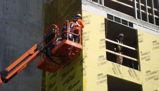
Different types of laser scanners are presented according to how they work. The Leica RTC360 3D laser scanner, which was used in the practical part of the seminar work, is also described in more detail.
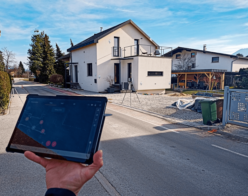
The case study aims to verify the applicability of the instrument, in particular whether the resulting georeferenced point cloud is suitable for ordering in the national coordinate system and thus in the official geodetic plan. A comparison is made between the surveyor’s data and the 3D scan data.
I have found that the 3D laser scanner image is more detailed than the electronic total station image produced by the surveying company. It should be considered that it used an instrument with sufficient accuracy for such surveys.
During the video comparison, I found that great care had to be taken in setting up the virtual targets needed for manual georeferencing of the point clouds. I found that the black and white targets should be positioned so that the scanner is as perpendicular to the target as possible.
Even with total station measurements, it is important to measure the position of the targets as orthogonally as possible and to determine the coordinates in space. For a later more precise analysis of the surface, the distance is also very important. With the scanner I use, the optimal scanning distance to the scanned area is about 8m. It can quickly, accurately and qualitatively retrieve the described spatial data about the scanned object.