Terenske vaje pri predmetu Inženirska geodezija

Construction & Civil Engineering

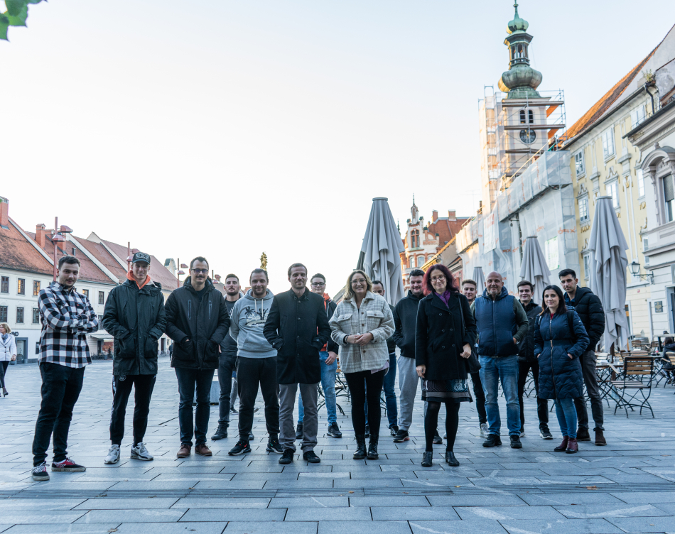
Students of the Construction & Civil Engineering programme undertook field exercises in Maribor as part of the Engineering Geodesy course. The content of these was levelling, or a more precise method of determining height points using a spirit level – an instrument that provides horizontal vision.

Želite biti obveščeni o novicah na Academii?

Ko bo kaj novega vam to enostavno sporočimo na vaš e-naslov.

Close

Vas zanima študij pri nas?

Izpolnite spodnji obrazec za prijavo v program. V roku enega dneva vam bomo posredovali vse potrebne informacije o vpisu.
  • Vaši osnovni podatki

  • This field is for validation purposes and should be left unchanged.

Close

Newsletter

  • This field is for validation purposes and should be left unchanged.